Public Utilities

Park Aerial Survey
Aerial Imaging With their ability to capture data from above, drones are able to perform land surveys, photogrammetry, 3D mapping, topographic surveying, and more, with increased efficiency. The Benefits of Drone Mapping Using drones for surveying offers the following advantages: Speed – Drones can scan acres of land in a fraction of the time it …
Highway Planning
The Community Charter defines highways to include streets, roads, lanes, bridges, viaducts and any other way open to public use.

About GPSCAD
Useful Links
Major Services
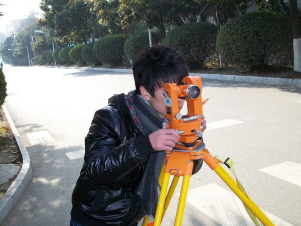
- Land Survey Services
- Airport NOC Services
- Obstacle Limitation Survey Services